Maps

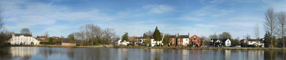
Madeley is being actively mapped within the OpenStreetMap.org project – a project to map the world and to provide street level maps for free!

This has some of the most accurate mapping available, and with local Madeley enthusiasts is kept up to date far faster than Bing, Google, or even the Ordnance Survey can manage!


View Larger Map at OpenStreetMap.org


View Map on Google

Alternatively, click here for 1:50000 street map (provided by bing)


Current Madeley Street Map – Printable

Current Madeley Street Map
(© Andrew T. Finney)

Madeley Village Street Map is in Acrobat PDF Format.
Right Click the Link Below and Select “Save Target As”

Download Now

Updated Features are

  • A4 Printer Friendly
  • Can Be Printed on Larger Format Paper
  • Fully Adobe Acrobat Reader Compliant
  • Village Amenities Now Shown
  • Haywood (Smithy) Court Area Added
  • Merlin Green Now Shown
  • Major Through Roads Highlighted

Click Here to View In Acrobat Reader


%d bloggers like this: